- Screen Colours:
- Normal
- Black & Yellow
A view over the centre of Ipswich 1983-85
Aerial photography by Brian Mateer, whose extensive album of work is on our online Image Archive
[https://www.flickr.com/photos/ipsoc/albums]. See below for notes on this photograph.
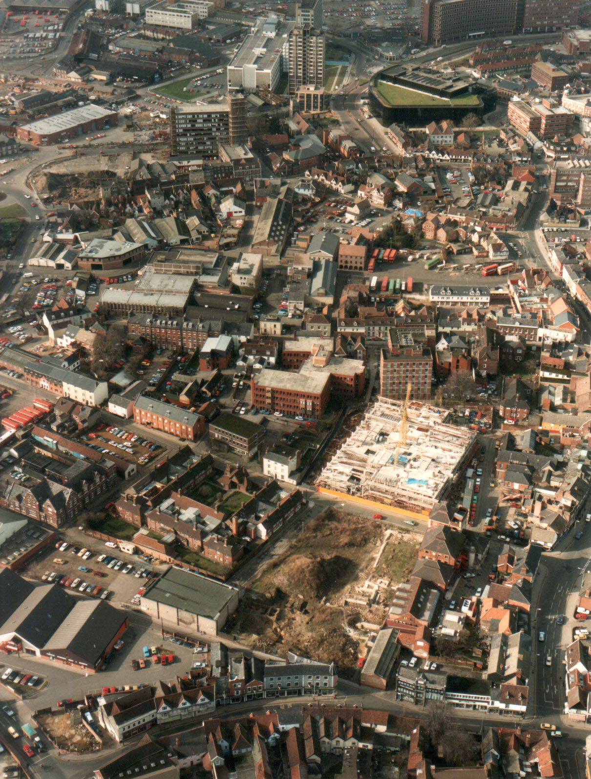
Fore Street runs along the bottom of the photograph with Lower Orwell Street branching off to the south – the line of the town rampart.
The excavation of the Blackfriars Church, the only surviving in situ remnants of the five monastic establishments in Ipswich, was carried out by Keith Wade and the Suffolk Archaeological Unit in 1983-85 as part of the School Street (to the left of the church site) area, based on earlier work by archaeologist Nina Frances Layard.
Across Foundation Street, construction of the multi-storey car park is underway with Rosemary Lane running between it and Haven House to the left and ‘Peninsular House’ to the right.
At the upper left the building work has started on the Novotel with Jewson’s buildings behind it. The distinctive shape of the Willis Building with its roof lawn can be seen at the upper right.